7 December 2020
The Mountain of Angels
If Los Angeles is the city of angels, then the village of Engelberg in Switzerland literally means the mountain of angels. Located in the tiny half-canton of Obwalden (38,000 inhabitants, 4,000 of which in Engelberg, that’s 0.1% of LA), the village is indeed surrounded by imposing mountain summits. In fact, the road that extends beyond the village quickly comes to a dead-end. Nothing but 3,000-metre-high mountains all around, with only one entry/exit point to the valley. Better not be too claustrophobic.

Engelberg is located just about 50 kilometres from where I live, approximately the same bird’s-eye-view distance separating my home from Säntis. There are obviously mountains and lakes (in this case, the lake of Lucerne) on the way, so the detoured trip by train takes 3 hours each way – a good reason to stay overnight in the village so we didn’t have to wake up too early and be back on the same day!

We took it slow on the first day to ascend the northern side of the valley, since my knee was still in recovery. I suppose I was walking so slow that even cows looked at me weirdly:
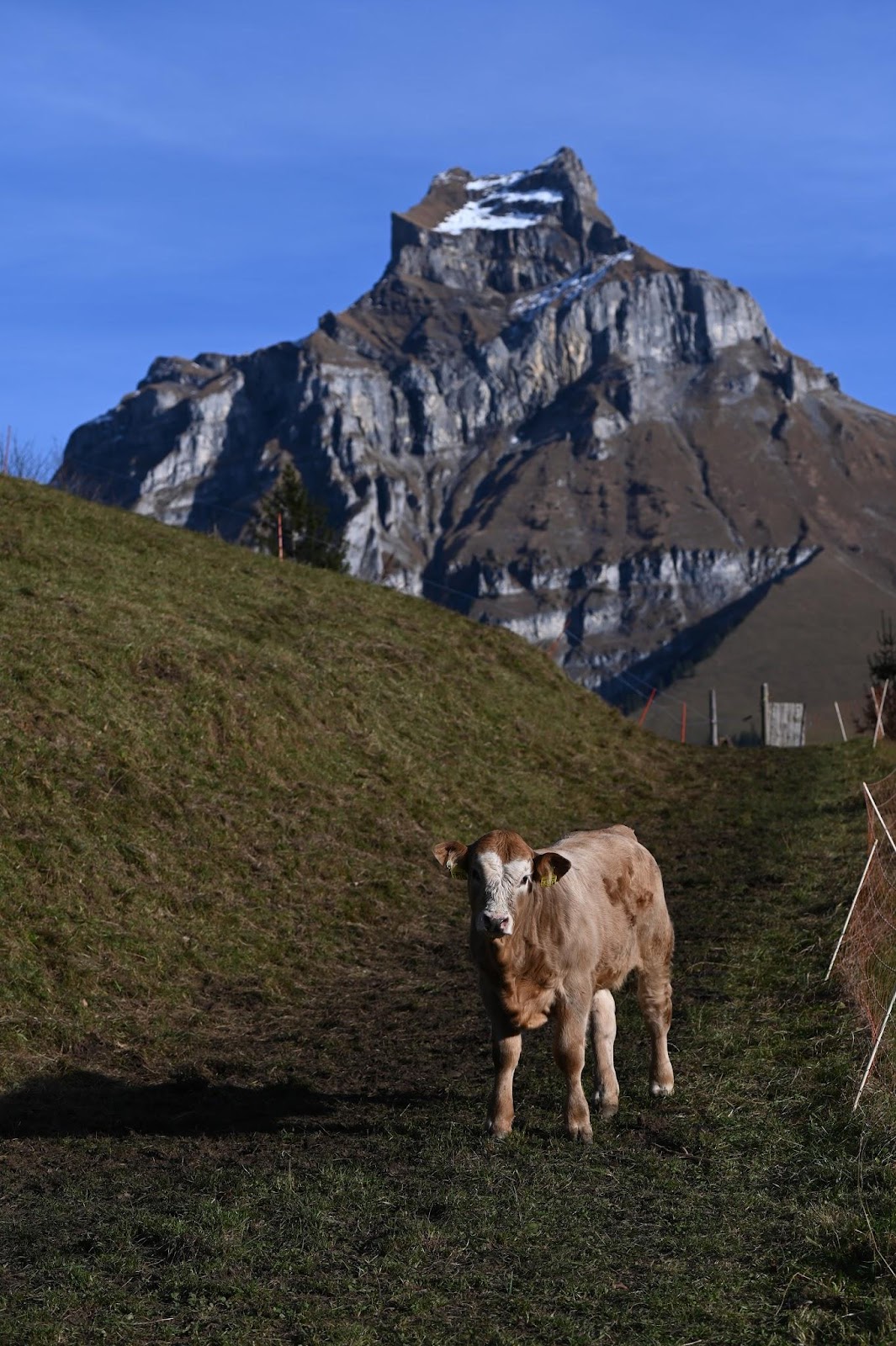
Walking slowly had one advantage though: the trail was suddenly blocked by a couple of gigantic cows. I’m sure they weighed at least 5 tons. I’m not exaggerating at all. I had read somewhere that people did die from cows charging at them. So after failing to convince my partner to lead the way under some false pretence, I slowed down my walking pace even further (the knee excuse always comes in handy in that case), coming to a virtual halt. Alas, I was getting too close to the cows to my taste and stopped to “enjoy the view”: I had secretly seen another lone hiker coming down on the same path. Hurray, a guinea pig! My guardian angel must have been looking after me! The man shouted at the cows, tried to push them… they trampled him to death as I had expected. Ha, I knew I had to be careful. Alright, that’s not exactly how it happened: the cows ever so slowly decided to budge and the guy simply walked past the cows… with me closely following as if everything was normal. Whether my partner made it or not, I have no idea. In that case, one should never look back and save their own skin, right?!


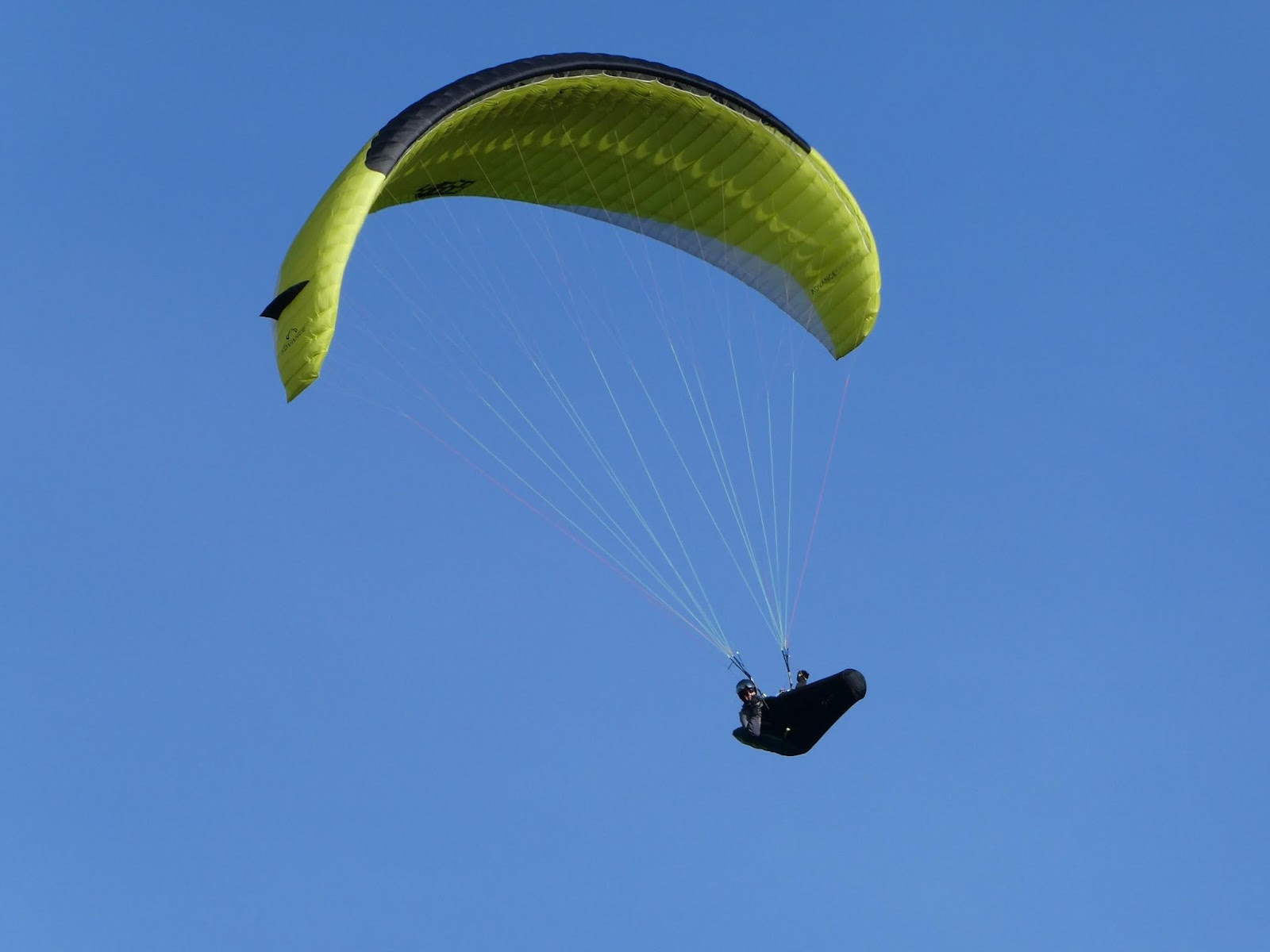
Just like in Säntis, dozens of paragliders were having fun. If only they didn’t appear out of nowhere when I was using my drone!
Yes, I’m wearing a (Google) T-shirt on that picture above: while hiking in the sun, it does feel warm. The minute the sun disappears behind the mountains, i.e. around 3.30pm, it’s however freezing cold. As much as I was feeling stupid to carry a big winter coat in my backpack all the way up, I’m relieved to put it on on the way down, together with scarf and gloves. It was that cold.

The next day saw us take the cable car up the southern side of the valley, making a stop at Trübsee lake, one of the 1,500 lakes of the country, before going all the way up to Mount Titlis. The higher altitude allowed no other choice but to wear all the clothes we had. I didn’t know this then but it seems many people use Titlis as a “cheaper and easier option” than Jungfraujoch, another well-known mountaintop in Switzerland. It’s funny to read “cheaper” because the regular price for the cable car at Titlis costs $75 (you do get the return journey for that price, yay). We did try to combine various discount vouchers but the cashier laughed us off and said one discount was already “enough”(!)... and gave us a couple of pitifully small chocolates. Gee, thanks.


It was already just after 10am by the time we arrived at the lake so most tourists hadn’t arrived yet. Heck, the sun wasn’t even high enough above the mountain ridge to light up the entire lake. So that gave us plenty of time to take photos and fly the drone and think we’d be crashing it when it was still very far away from any obstacle. Two, three hours passed quickly. Going around the lake took longer than it looked it would – not because the distance was that impressive (about 3 km) but because every turn of the path gave plenty of new angles to take photos from.


We eventually “hurried” to make it to the very top of the mountain through a couple of additional cable cars, including the world's first rotating cable car: the outside shell remains fixed while the inside bubble-shell rotates a full 360° during the 5 minutes it takes for the “Rotair” to arrive.
Since 60% of Switzerland’s land surface is located in the Alps, the major tourist activities in the area are unsurprisingly skiing and hiking. The more surprising aspect was to see teenagers going back home after their morning ski. It was but a sunny mid-November day… except that the summit of Titlis is located above the snow line, which means it’s possible to ski on the glacier from October till May!
The impressive transmission tower situated right below Mount Titlis didn’t interfere with the drone we operated up there, but I was still too scared to fly it around the tower and the summit. Hopefully the footage is still worthwhile (see below for the montage, which will be published once ready).


If not skiing, there’s not much to do up there. But for us, that usually means staying a few hours to soak in the view and notice every plane, every lake barely visible on the horizon, every weird-looking mountain peak, and of course observe the human fauna.
Well, there are two things everyone can do around Titlis.
The first one is the Titlis Cliff Walk, the highest elevation suspension bridge in Europe, opened in December 2012: it gives broad views across the Alps, although one has the same views from the walkable ridge just above! At least the roughly 30 metres of steel walkway is free.
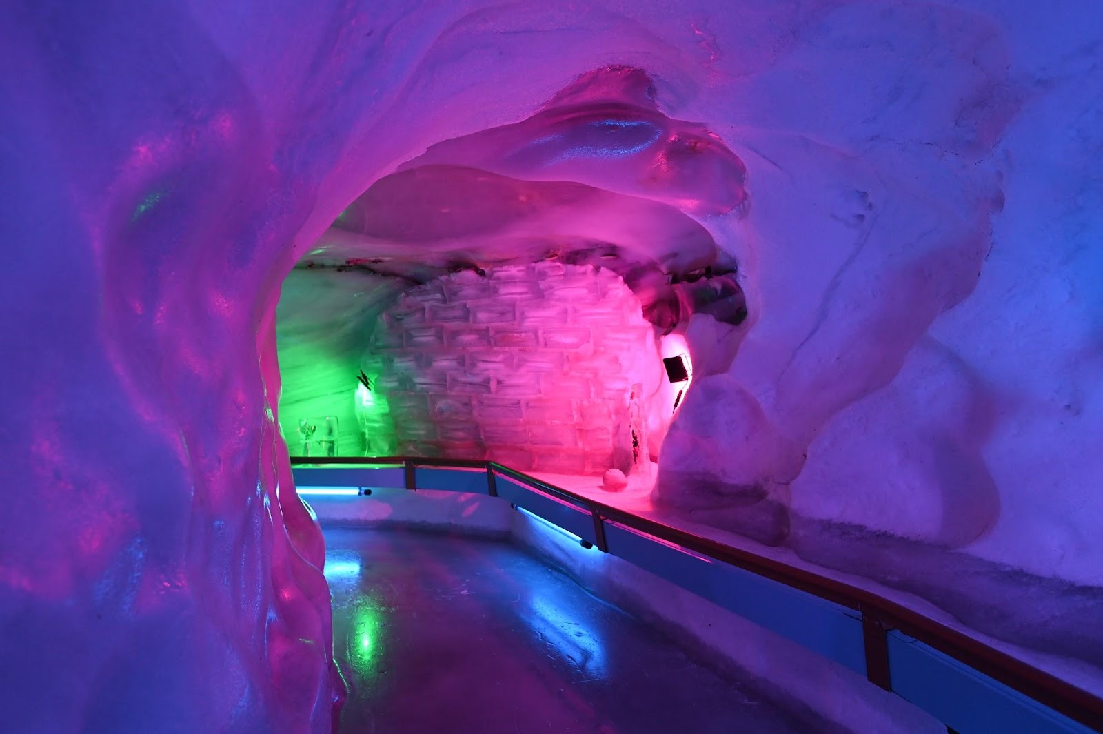
The second is the 150-metre-long glacier cave, illuminated with LEDs. It’s kept refrigerated at a constant -1.5° Celsius. Well, I wouldn’t want the “thing” to start melting on me!
So that’s a wrap. One may think that mountains all look the same but that couldn’t be further from the truth. Add a sunny day and a high-altitude lake to the mix, and you’re set for a few hours of feeling alive. What’s not to appreciate!